
As a weather nerd, I routinely visit https://www.weather.gov/ where you have to do a few click to reach your weather forecast and 1 more for the meteogram representation.
You must first click the USA map
click again with a more specific location
then click a third time to reach the meteogram representation. This is lame.
Looking into how the meteogram page worked lead me to discovering that its loading the meteogram image via meteograms/Plotter.php.
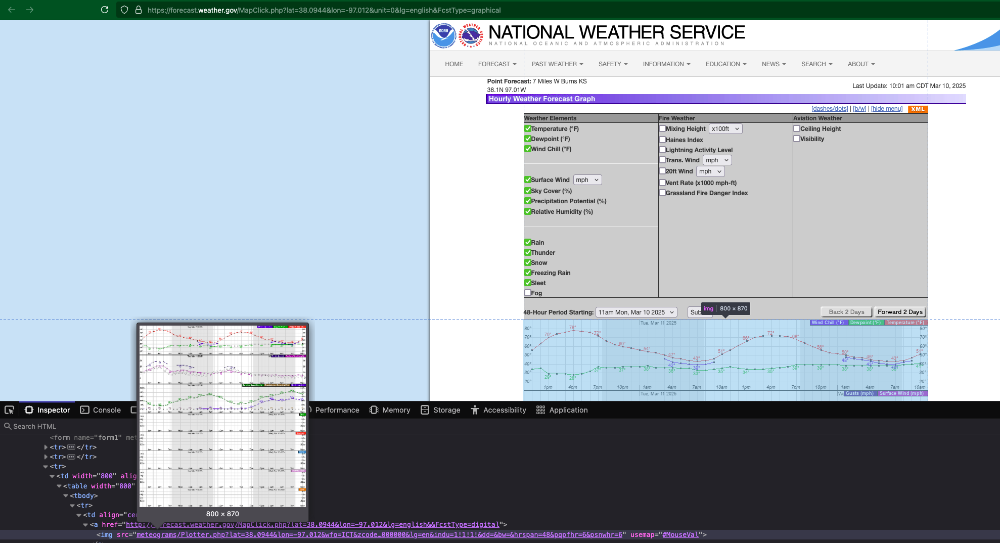
Keeping it short, you can manipulate the URL to return weather data for the location you provide. You can also expand to capabilities not usable in the page.
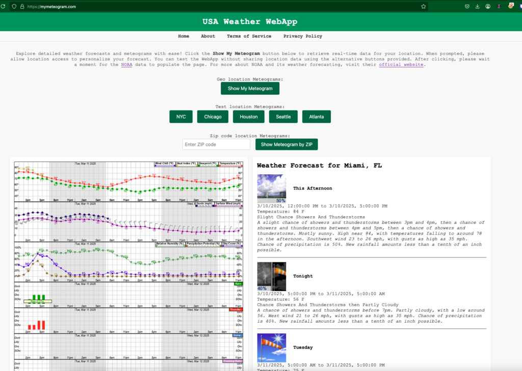
Ive exploited how this page used meteograms/Plotter.php for my own site @ https://mymeteogram.com. It first finds the local weather station based off the lat and long data, then makes a request to meteograms/Plotter.php with the data and the code to make a fully expanded meteogram.
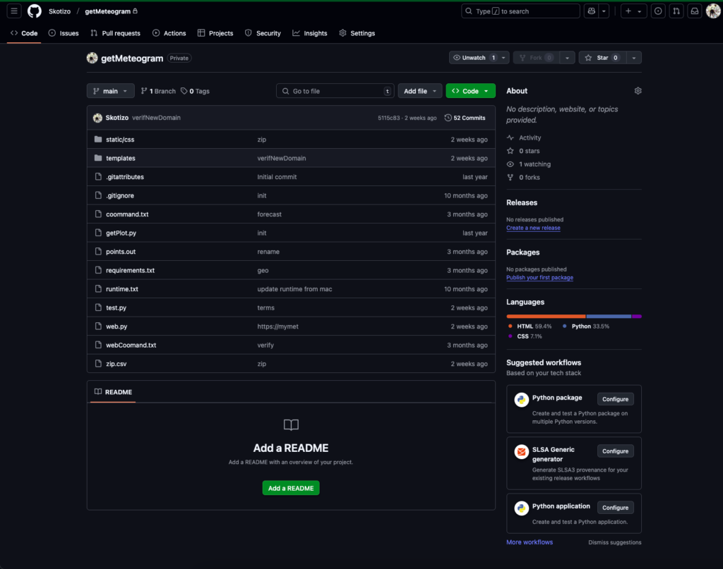
code is found here https://github.com/Skotizo/myMeteogram
Leave a Reply